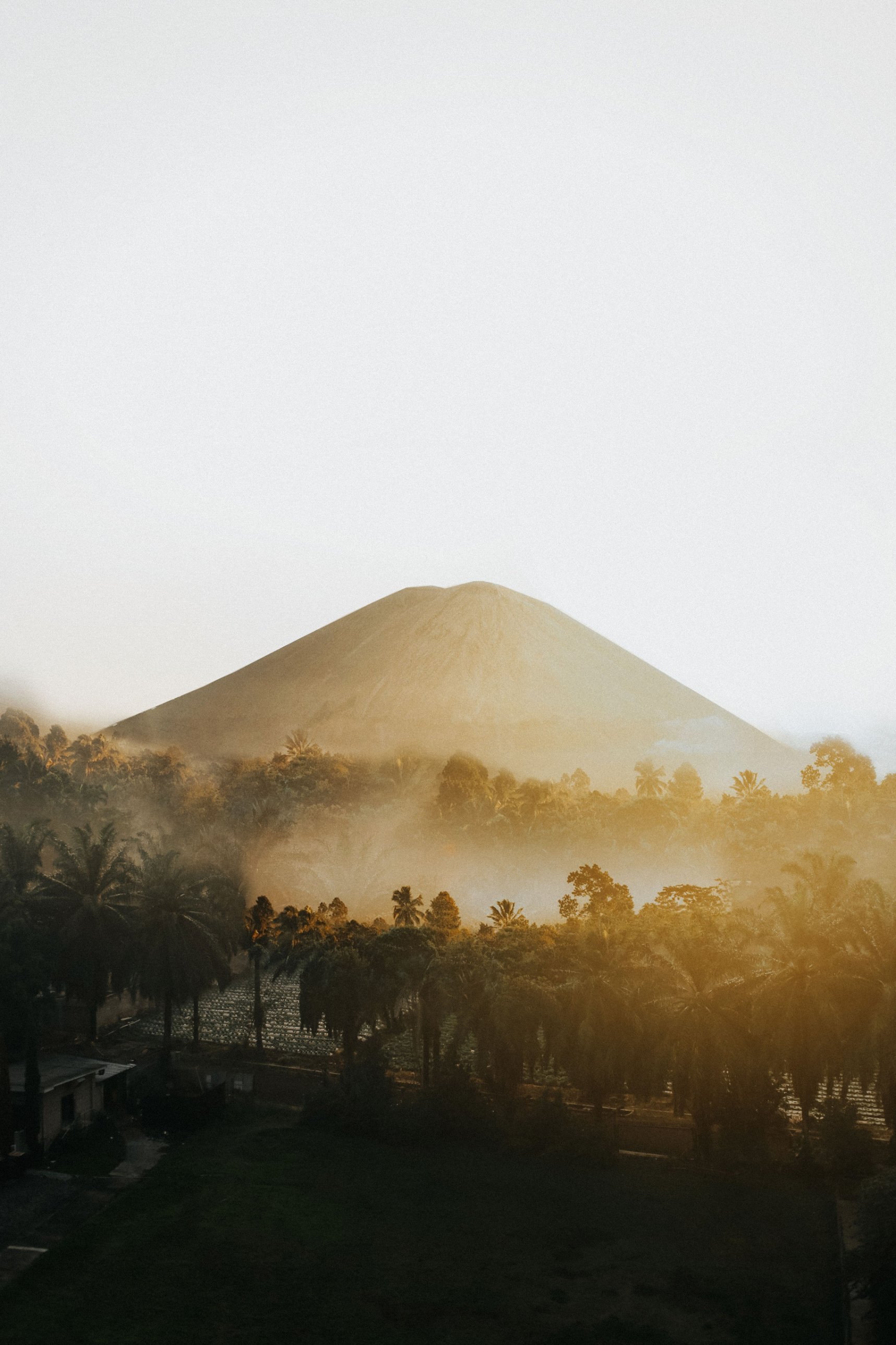
Along the spine of western Sumatra, one national park stretches across four provinces and wraps around a valley of tea gardens and villages. Above it stands Mount Kerinci, the highest volcano in Indonesia, and in its forests lives the largest surviving population of Sumatran tigers.
What is Kerinci Seblat National Park?
Kerinci Seblat National Park (Taman Nasional Kerinci Seblat, or TNKS) is the largest national park in Sumatra, covering about 1.39 million hectares across Jambi, West Sumatra, Bengkulu and South Sumatra. It protects mountain rainforest, active volcanoes and highland lakes along the western spine of the island. It was declared in stages and formally gazetted in 1999, and since 2004 it has been one of the three parks that make up the Tropical Rainforest Heritage of Sumatra, a UNESCO World Heritage Site.
The park is a ring as much as a block of forest: it completely surrounds the Kerinci Valley, a populated highland basin with Sungai Penuh as its town and farms, lakes and tea gardens on its floor. That shape explains much of the visitor experience. You sleep in valley villages and walk straight from fields into the forest.
Since 2011 the whole Sumatran World Heritage Site has been on UNESCO's List of World Heritage in Danger. In Kerinci Seblat the pressures are encroaching farms, illegal logging, poaching and road projects through the forest.
What wildlife lives in Kerinci Seblat?
Kerinci Seblat holds the largest surviving population of Sumatran tigers, along with Sumatran elephants, Malayan tapirs and several smaller wild cats. Park officials put the tiger population at around 150 to 180 in 2024, while a 2023 Fauna & Flora report counted about 128 in the park and adjoining areas. Either way, it is the stronghold of the subspecies.
The park is just as important for birds and plants. More than 370 bird species are recorded, and the Kerinci area alone holds 17 of Sumatra's 20 endemic birds; the Sumatran ground-cuckoo was rediscovered here in 2002. Over 4,000 plant species grow in the park, including Rafflesia arnoldii, the largest single flower in the world, and the titan arum.
There are losses too. The Sumatran rhino, once numbering in the hundreds here, is now considered extinct in the park because of poaching. Between 2002 and 2022 the park lost about 55,200 hectares of primary forest, mostly to potato and other smallholder farms, according to Global Forest Watch data reported by Mongabay.
How do you climb Mount Kerinci?
Mount Kerinci (Gunung Kerinci), at about 3,805 m, is the highest volcano in Indonesia and the highest peak in Sumatra. Climbers start from the village of Kersik Tuo, at about 1,500 m, and most take two days and one night, camping high on the mountain before a pre-dawn push to the crater rim. It is a hard climb on steep, muddy, rooty trail.
From Kersik Tuo a vehicle usually takes you through the tea gardens to the road end and the forest gate, Pintu Rimba. The trail then climbs through Pos 1 (Bangku Panjang), Pos 2 (Batu Lumut) and Pos 3 into Shelters 1, 2 and 3. Shelter 2, at about 3,000 m, is the usual camp with water nearby; Shelter 3, at about 3,300 m, sits above the tree line and is more exposed. Above it a loose scree slope passes Tugu Yudha, a memorial to a lost hiker, before the summit crater, about 600 m wide.
The full climb only goes ahead when the volcano and the park allow it. Kerinci is an active stratovolcano with small steam-driven eruptions almost every year, and the rules on how high climbers may go change with its activity. Read the next section before you plan.
Is Mount Kerinci open to climbers right now?
Yes, as of late October 2026 the trails are open again. The park closed all Kerinci routes on 1 September 2026 to prevent forest fires during the dry season, then reopened Gunung Kerinci, Lake Gunung Tujuh and Gunung Masurai in mid-October 2026. Booking is online only, and every climber passes a ticket scan, document check and safety briefing at the gate.
The volcano itself has been at Level II (Waspada, "alert") on Indonesia's four-level scale through 2026, with the volcano agency advising people to stay 3 km from the crater. After a rise in volcanic earthquakes the park closed the Kersik Tuo route from 6 January to 12 February 2026, and on reopening it said climbers must stay outside that radius. In practice the briefing tells you how far you may go, and during past unrest climbers have been stopped as low as Shelter 2.
Status can change within a day. Check the alert level on MAGMA Indonesia and the park's own announcements before you travel, and accept a turnaround if guides or rangers call one.
What else is there to see around Kerinci?
Beyond the volcano, the classic sights are Lake Gunung Tujuh, the Kayu Aro tea gardens and the lakes and hot springs of the Kerinci Valley. Most can be reached in a day from Kersik Tuo or Sungai Penuh.
Lake Gunung Tujuh, "seven mountains lake", fills a caldera ringed by peaks at almost 2,000 m, and is often described as the highest caldera lake in Southeast Asia. The trail starts near Pelompek, a short drive from Kersik Tuo, and climbs through forest for about two to three hours to the rim. Local boatmen paddle visitors across, and campers sleep on the sandy shore. It needs the same online ticket as the volcano.
Kayu Aro, at around 1,600 m at the foot of Kerinci, is one of the oldest and highest tea estates in Indonesia. A Dutch company began it around 1920, the factory opened in 1925, and today about 2,100 hectares of tea roll across the valley under state plantation company management. Down the valley are Lake Kerinci, the Rawa Bento swamp and the Semurup hot springs.
Who lives in the Kerinci Valley?
The Kerinci Valley is home to the Kerinci people, highland farmers who grow potatoes, cinnamon, coffee and vegetables on the slopes around the park. Kersik Tuo, the trailhead village, has homestays whose owners arrange guides, porters and transport.
Stories run deep here. Villagers tell of guardian spirits at Lake Gunung Tujuh, and of orang pendek, a small upright forest being said to walk the park; researchers' camera traps have never recorded it. The region is largely Muslim, so dress modestly in villages. Kerinci Regency lists a Festival Kerinci for 3 to 6 November 2026.
When is the best time to visit Kerinci Seblat?
The drier months, roughly May or June to September, give the best chance of clear summit mornings and less mud. Rain is possible in any month, and the wet season makes trails slippery and leech-heavy. Avoid weekends and public holidays if you can, when Indonesian student groups fill the campsites.
Dry weather brings its own closure risk. In 2026 the park shut the trails for six weeks from September because of forest-fire danger, so check the status even in the best season. At around 3,000 m expect daytime temperatures of roughly 10 to 15 °C and near freezing at night.
How do you get to Kerinci Seblat National Park?
Most visitors fly into Padang (West Sumatra) or Jambi and travel overland to Sungai Penuh and Kersik Tuo. From Padang the drive takes about 6 to 10 hours; from Jambi about 10 to 12. Shared minibuses run daily on both routes, and private cars cost more but save time.
Depati Parbo Airport (KRC) near Sungai Penuh is small. In 2026 Susi Air was reported to fly from Jambi on Mondays and Thursdays only, with bookings by phone and frequent weather delays, so confirm the schedule and never plan a tight connection around it. From Sungai Penuh to Kersik Tuo is under two hours by car.
What does it cost to climb Mount Kerinci?
Tickets for Kerinci, Lake Gunung Tujuh and Masurai are booked through the national parks' Ayo ke Taman Nasional app or website. Trekking operators reported a foreign-visitor fee of around IDR 150,000 per day in 2026, with higher weekend and holiday rates, while Indonesians pay far less. Prices change, so check the app before you go.
Guides are arranged in Kersik Tuo, and prices are negotiated. A mandatory local guide was still under discussion in 2026, but a guide is strongly recommended: the trail is long, weather turns fast, and the park is tiger country. Porters lighten the load for the camp at Shelter 2 or 3.
How to visit Kerinci Seblat responsibly
Light no fires, put out every cigarette and follow ranger instructions, especially in the dry season. Carry all rubbish down; waste on the summit trail was one reason the park cited for its January 2026 closure. Hire local guides and stay in valley homestays so that the forest pays the people who live beside it, and never buy wildlife products.
