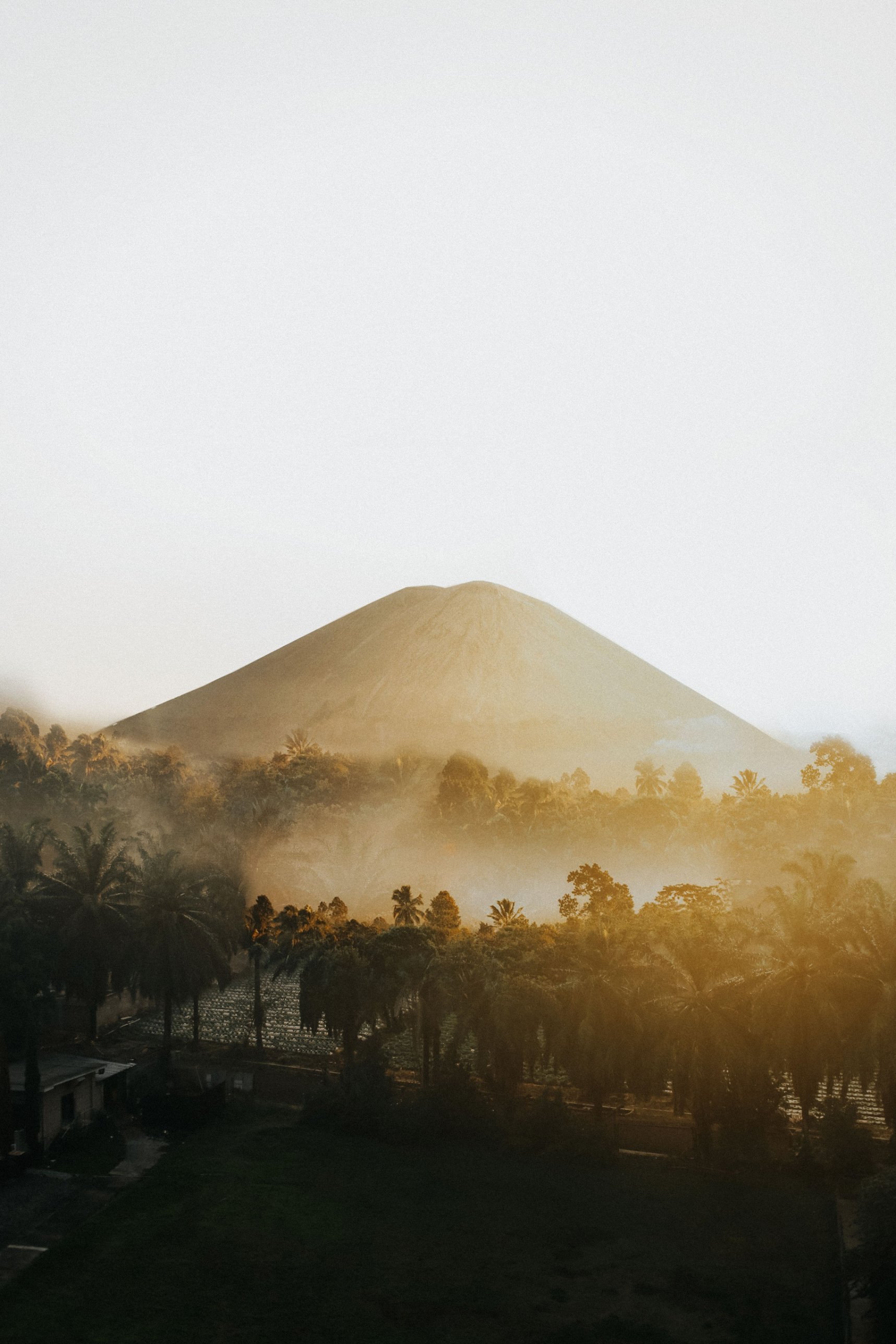
Just south of Jakarta, two volcanic summits rise out of tea gardens and cloud forest. Gede Pangrango is one of Indonesia's oldest national parks and one of its most studied, a place where botanists have collected for nearly two centuries and where city hikers now camp among edelweiss at almost 2,800 metres. It is close, popular and tightly managed, so planning matters as much as fitness.
What is Gunung Gede Pangrango National Park?
Gunung Gede Pangrango National Park (Taman Nasional Gunung Gede Pangrango, often shortened to TNGGP) protects two neighbouring volcanoes in West Java, south of Jakarta and east of Bogor. It was declared on 6 March 1980 as one of Indonesia's first five national parks, together with Gunung Leuser, Ujung Kulon, Baluran and Komodo. It is the core zone of the Cibodas Biosphere Reserve, which UNESCO recognised in 1977.
The park began at about 15,196 hectares and has grown several times. A 2003 decree expanded it to about 21,975 hectares, and a 2014 decree set the current area at about 24,271 hectares. The two summits are Gunung Gede, about 2,958 metres and still an active volcano, and Gunung Pangrango, about 3,019 metres and inactive. A high saddle called Kandang Badak, at about 2,400 metres, joins them.
Why is Gede Pangrango important for nature?
Gede Pangrango holds one of the best surviving blocks of mountain rainforest on Java, the most crowded island in Indonesia. UNESCO's figures for the biosphere reserve list more than 1,000 plant species, 251 bird species, which is more than half of Java's total, and around 110 mammal species. The forest also feeds the upper reaches of rivers that run north towards Jakarta and south to the Indian Ocean.
The forest changes with height, from sub-montane forest below about 1,500 metres to montane forest and finally sub-alpine scrub and grass near the summits. In 1889 the forest above the Cibodas botanical garden, up to the summit, was set aside as a botanical research forest.
The animals people hope to see are the endangered Javan gibbon, also called the silvery gibbon, the Javan surili and the Javan lutung. The Javan hawk-eagle, Indonesia's national rare animal symbol, hunts over the ridges, and the Javan leopard still lives in the forest, though it is rarely seen. Above the tree line grows Javanese edelweiss (Anaphalis javanica), the silver-leaved shrub that hikers come to photograph.
What are the main highlights inside the park?
The classic sights line the Cibodas trail: Telaga Biru, a small lake about half an hour above the gate, the swamp boardwalk at Rawa Gayonggong, and the Cibeureum waterfall, reached by a short side path. Higher up, the trail crosses a stream of hot water flowing over the rocks, then climbs to the campsites at Kandang Batu and Kandang Badak.
Above the saddle the routes split. Gede has the better view, with a sheer-walled crater and a summit looking over the ridges of West Java. Pangrango's summit is forested, but a few minutes beyond it lies Alun-alun Mandalawangi, a quiet grassy hollow. South of Gede, at about 2,750 metres, Alun-alun Surya Kencana is a long sub-alpine meadow scattered with edelweiss, the park's most famous campsite.
The mountain also has a place in Sundanese belief. Local legend in Cianjur ties Surya Kencana to Raden Surya Kencana, a son of the founder of Cianjur, and a stone in the meadow called Batu Dongdang is treated by pilgrims as a sacred place. Treat it with respect and do not climb on it.
Next to the Cibodas gate, the Cibodas Botanical Garden was founded in 1852 as a mountain branch of the Bogor garden. It covers about 85 hectares at around 1,300 to 1,425 metres, is run by Indonesia's national research agency BRIN, and is worth a half day.
Which hiking route should you choose?
There are three official routes to the summits: Cibodas, Gunung Putri and Selabintana. Cibodas is the most popular and the most gradual, Gunung Putri is shorter and steeper, and Selabintana is the longest and quietest. Most hikers take two days and one night.
From Cibodas, fit hikers reach Kandang Badak in about three hours, and from the saddle it is roughly 1.5 to 2 hours to Pangrango's summit or a steep scramble to the rim of Gede. Gunung Putri, in Pacet, Cianjur, climbs directly to the northeastern end of Surya Kencana and then on to Gede. Selabintana starts near Sukabumi and is about 11 kilometres to Surya Kencana, a long day of seven to eight hours with leeches on the lower slopes.
A popular plan is to go up one route and down another, for example up Gunung Putri, over Gede and down to Cibodas. Check first that your permit allows this. First-timers are advised to camp rather than attempt a same-day up-and-down, known locally as tektok.
Is Gunung Gede Pangrango open for hiking in 2026?
As of late October 2026, hiking to the summits was closed with no reopening date announced. The park closed all trails on 7 August 2026 after fires at Alun-alun Surya Kencana and around the Kawah Wadon crater, then extended the closure from 1 September until further notice because of continuing fire risk. Water-based attractions in the park reopened on 21 October 2026.
This follows an unusually disrupted year. All trails closed on 13 October 2025 for a clean-up and a management overhaul after years of waste problems, and reopened on 13 April 2026. They closed again from 23 to 29 July 2026 for a trail running event. In past years the park has also often closed the trails from January to March for ecosystem recovery and the worst of the rainy season, as it did in 2019.
Always check the official TNGGP booking site and social media before you plan a trip, and never follow offers to climb through unofficial gates while the trails are closed.
When is the best time to visit Gede Pangrango?
The best conditions usually come in the drier months, roughly June to October, when trails are firmer and summit views clearer. The rainy season runs from about November to April, and January and February bring strong winds and frequent rain that make the upper slopes dangerous. Whatever the season, the open months depend on park decisions, so confirm the trails are open first.
The park is wet all year, with around 3,000 to 4,200 millimetres of rain annually, so expect mist and showers even in the dry season. Nights at Kandang Badak and Surya Kencana are cold, so bring warm layers and a proper sleeping bag. The dry season also brings fire risk, which is why the 2026 closures came in August.
How do you get to Gede Pangrango from Jakarta or Bogor?
The Cibodas gate is about two hours' drive from Jakarta, around 50 kilometres by road, usually via Bogor and the Puncak pass to Cipanas. Gunung Putri is a short ride further on in Pacet, Cianjur, and Selabintana is reached from the town of Sukabumi on the park's southern side.
Buses running between Jakarta and Bandung via Puncak pass the Cibodas turn-off, and from there local transport and motorbike taxis (ojek) go up to the gate. Avoid driving back to Jakarta on Sunday afternoons, when Puncak traffic is at its worst. Check current transport schedules before you go.
How do you book and what does it cost?
Every hiker must register online at the park's official booking site, booking.gedepangrango.org, choose a date and route, and pay the fee to receive a climbing permit (SIMAKSI). Day hikers must register too. When the trails reopened in April 2026 the quota was reported at 300 hikers a day across the three gates, and hikers were to be issued RFID wristbands for tracking.
Fees follow the national tariff regulation of 2024 (PP 36/2024), and foreigners pay far more than Indonesians. Published rates for a foreign hiker's two-day climb have been reported at roughly IDR 320,000 to 470,000 in recent years depending on the day and source, and a foreign day visit at around IDR 155,000 to 205,000. Check the current fee on the booking site before you go.
Is it safe to hike Gede Pangrango, and what are the rules?
The routes are well marked and busy, and with good preparation the hike is safe for fit walkers. The main risks are cold, rain, fatigue on steep sections, and the drop at Gede's crater rim, where you should stay back from the edge. Register, stick to your booked route and dates, and report back when you come down.
The park enforces its rules. Bags are checked at the gates, everything you carry up, including food wrappers, must come back down, and hikers who do not report their descent or who overstay can be banned. Flares are banned, camping is limited to designated areas, and picking edelweiss, cutting trees or climbing illegally can bring bans of several years and criminal charges. Never light fires, and handle gas stoves with care: one fire in August 2026 was blamed by a resident on a leaking gas canister.
How do you visit Gede Pangrango responsibly?
The park is surrounded by people. UNESCO counts about 454,000 residents in 66 villages around the core zone, most of them Sundanese and around 70 percent farmers, many working tea, vegetable and flower plots on the lower slopes. Villagers from Gunung Putri and nearby kampungs work as porters and guides, and in August 2026 they carried water uphill to help fight fires.
Gede Pangrango's problems come from popularity: litter, trampled meadows and fire. Book officially, pack out every piece of rubbish, use existing toilets and campsites, and leave the edelweiss where it grows. Hire porters and guides from the gateway villages, buy from local warungs, and visit on a weekday if you can.
